In a significant stride toward strengthening its maritime sovereignty and sustainable development, Türkiye has published its first academic study on Marine Spatial Planning (MSP), a strategic framework aimed at optimising the use of the country’s surrounding seas for environmental, economic, and national security purposes.
The study was led by the Ankara University National Center for the Sea and Maritime Law (DEHUKAM) and includes the launch of a new online platform, featuring an interactive MSP map. The project marks a crucial step in Türkiye’s long-term commitment to its maritime doctrine, popularly known as the Blue Homeland (Mavi Vatan).
Mapping out the seas: Türkiye’s strategic marine plan
The DEHUKAM-developed MSP map visualises how areas beyond Türkiye’s territorial waters in the Aegean, Mediterranean, and Black Seas are designated for various uses—ranging from economic activities and scientific research to military operations. Though the map is an academic product and does not represent official state policy, it aims to inform public understanding, facilitate planning, and encourage institutional coordination.
According to DEHUKAM, the MSP study is part of broader national efforts to preserve maritime rights, manage future marine activities in line with environmental and economic priorities, and align to a degree with international practices, including some aspects of EU legislation—though Türkiye remains outside the EU framework.

A master plan for the seas
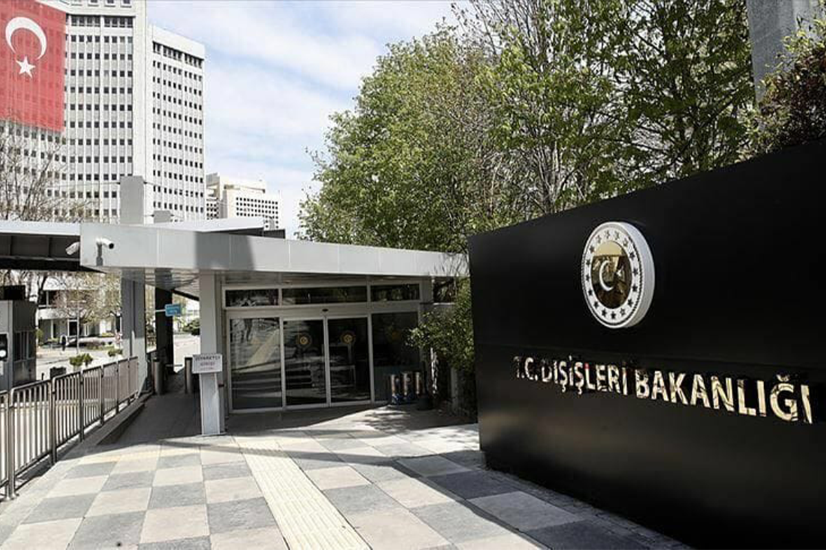
As part of the MSP process, a high-level “Inter-Institutional Coordination Committee” is set to be established under the auspices of the Turkish Presidency and coordinated by the Ministry of Foreign Affairs. This body will oversee implementation and ensure alignment across relevant ministries and institutions.
The MSP acts as a comprehensive "master plan" for Türkiye’s maritime zones, guiding policies and activities across sectors such as energy, fisheries, shipping, conservation, and tourism.
The Turkish Republic of Northern Cyprus is also reported to be conducting similar preparatory studies to establish its own marine spatial plan, potentially paving the way for regional cooperation on maritime governance.
Sustainable seas and the blue economy
DEHUKAM emphasised that seas are not only rich in natural resources but are also vital for economic growth, food security, and ecosystem health. Effective marine spatial planning, therefore, is essential for ensuring the sustainable and multi-stakeholder governance of maritime zones.
MSP is defined as a science-based, participatory, and integrated process designed to balance different uses of marine space, while safeguarding biodiversity and supporting the growth of the blue economy. It plays a critical role in combating climate crisis and enhancing the sustainable management of marine ecosystems.
Although Türkiye has not yet officially adopted an MSP by legislation, significant groundwork has been laid through academic research, government-supported projects, and inter-institutional collaboration.
Türkiye MSP platform: A new hub for maritime planning
The Türkiye MSP Platform, spearheaded by DEHUKAM, provides up-to-date information on ongoing projects, legal frameworks, institutional responsibilities, and core planning elements. It serves as a reference point for stakeholders including policymakers, researchers, investors, and the public.
One of its key features is the MSP map—designed using open-source data from public institutions and private entities. This “living map,” as DEHUKAM calls it, is meant to evolve in real-time to reflect changing maritime needs and newly identified usage zones.
Building maritime sovereignty through science
DEHUKAM CEO Mustafa Baskara emphasised the growing global demand for marine resources, which has put increasing pressure on marine ecosystems and biodiversity.
“This is why MSP was first initiated by UNESCO’s Intergovernmental Oceanographic Commission in the early 2000s,” he noted.
While the EU made MSP mandatory for member states in 2014, Baskara underlined that Türkiye is implementing its own plan based entirely on national sovereignty and scientific research, free of external mandates.
“Our work is grounded in ecosystem-based planning and built on academic data, developed in close coordination with relevant public institutions,” he added.
Toward a sustainable and sovereign maritime future
Türkiye’s Marine Spatial Planning efforts represent not just a technical exercise but a strategic vision: the development of a holistic and sustainable model for managing its maritime zones.
From economic development and energy needs to marine conservation and climate resilience, MSP is poised to play a central role in realising the full potential of the Blue Homeland—ensuring the health and productivity of Türkiye’s seas for generations to come.


